Probase Project At Uganda
December 21, 2021
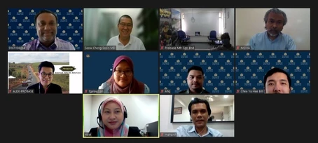
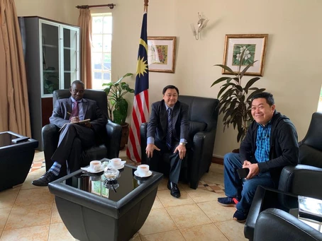
Engagement with Malaysia Ministry of Foreign Affair – Africa Division
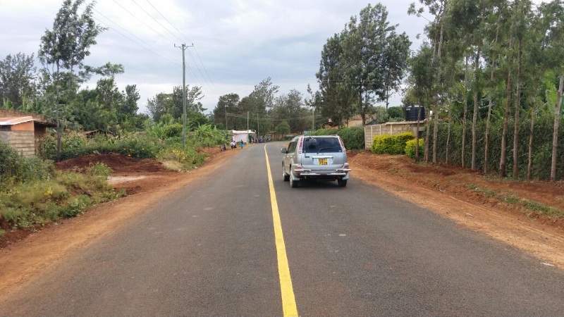
December 21, 2021Uganda: Kayunga Road Projects By Probase Technology
Kayunga–Busaana–Nabuganyi Road is a road in the Central Region of Uganda, connecting the town of Kayunga to the town of Nabuganyi, on the western bank of the Victoria Nile, adjacent to the Isimba Hydroelectric Power Station
This road is intended to ease travel from Kayunga District in the Buganda Region to Kamuli District in the Eastern Region of Uganda. A bridge, also under construction, about 0.5 miles (1 km) downstream of the Isimba Dam, will connect to Mbulamuti and ultimately to Kamuli.
The bridge, known as the Isimba Bridge also Kayunga–Kamuli Bridge or Nabuganyi–Mbulamuti Bridge measures 2.126 kilometres (1 mi). It traverses 433 metres (1,421 ft) of the western channel of the Victoria Nile, 301 metres (988 ft) on Koova Island, in the middle of the river and 457 metres (1,499 ft) across the eastern channel of the river. Additional real estate is covered on each river bank to make up the total bridge distance.[3] Completion is expected in December 2020.
On 29 December 2020, according to the Daily Monitor, Uganda National Roads Authority, carried out load stress tests on the Isimba Bridge and found the structure suitable for public use. Commissioning is anticipated later in January 2021
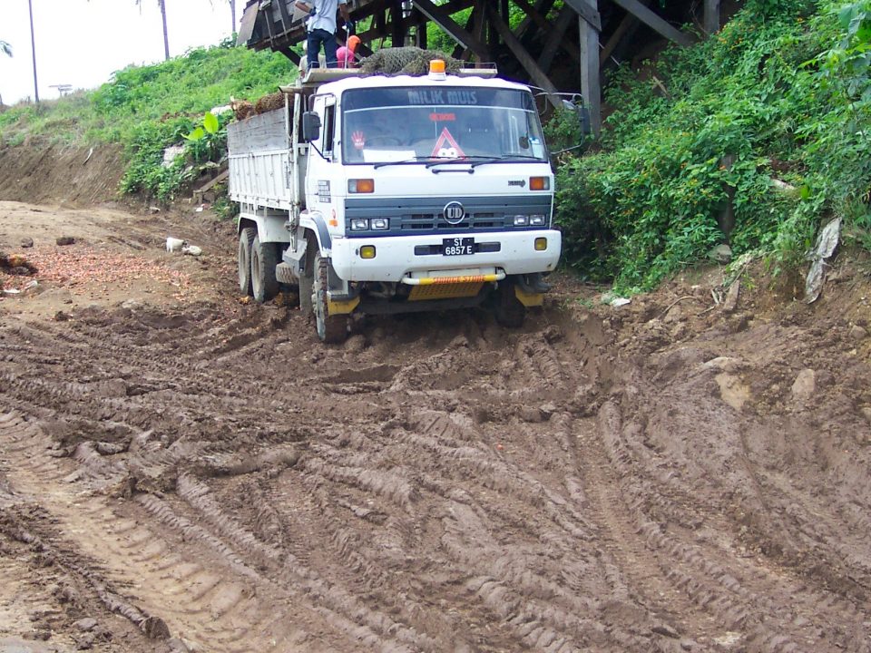
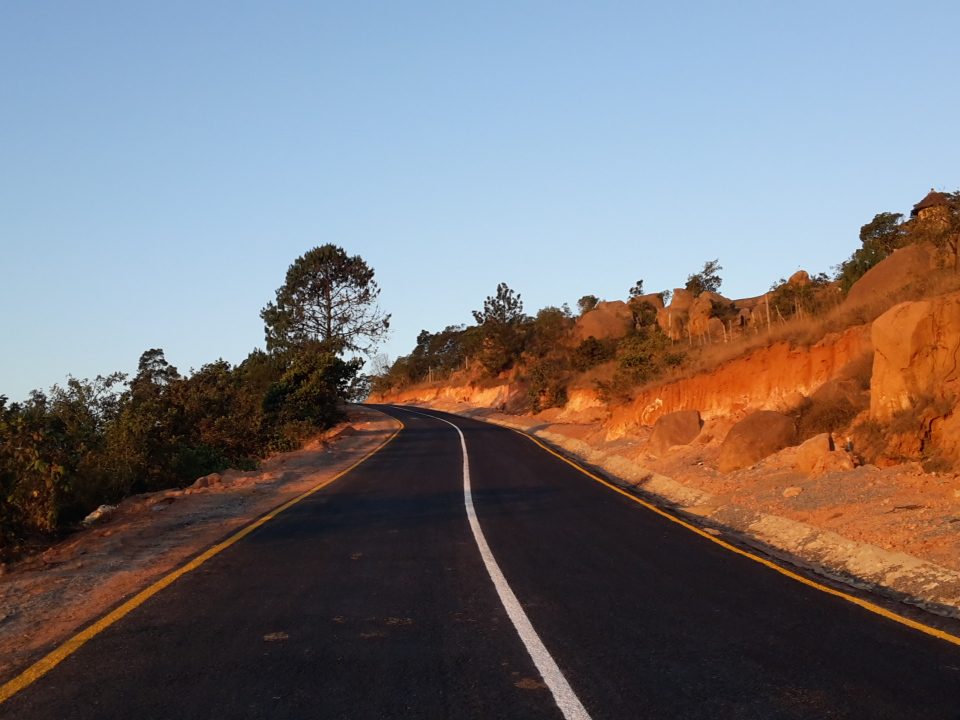
Prior to the construction of the Isimba Dam, the entire road from Kayunga to the Nile River was murram-surfaced in poor condition. In January 2020, work began on tarmacking this road to class 2 bitumen with shoulders, culverts and drainage channels. The construction contract was awarded to Abubaker Technical Services Limited, a Ugandan company in collaboration with Malaysian company that will manufacture, supply and supervise the Probase used in stabilizing the soil on this project. The tarmacking is funded by the Ugandan government.

